Map

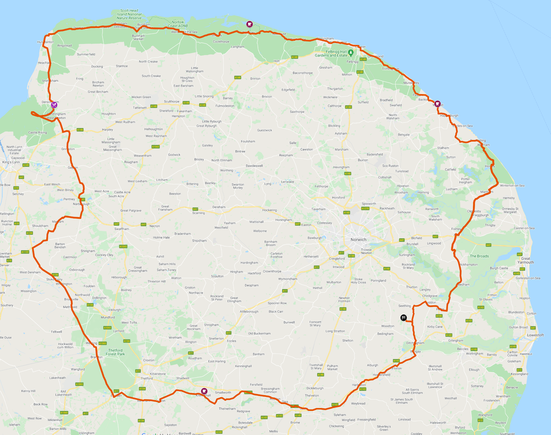
This map shows the complete route around Norfolk.

The orange line shows the route.

The chequered flag shows the start and finish location.

Coffee and lunch stops are also marked.

Click on the map for a larger view.

Route sheets will be available at the start and are be available on the Norwich VMCC website for downloading.


Petrol Stations along the route

Distance of each PS from the start

               17   51   60   83   85   86   94   112    119   150      166  miles

Distance between each PS

               17   34     9   23     2      1      8    18     7       31        16  miles


Website crafted by Steve.
Last edited 20th January 2024 
Powered by Webnode
Create your website for free! This website was made with Webnode. Create your own for free today! Get started